Free Printable Blank Maps
Download printable maps for the world, all 50 US states plus DC, and 170+ countries. US state pages include county-equivalent boundaries, labeled and colored variants, SVG and PNG downloads, and browser-ready PDF printing. Country pages provide separate canonical URLs with their own map downloads and geographic reference notes.
Most downloaded
Popular blank maps
The maps people download most — classroom favorites, presentation staples and quiz-night essentials. Every one prints cleanly and downloads as SVG or PNG.
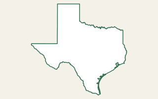
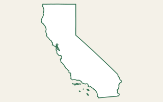
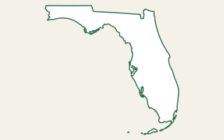
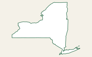
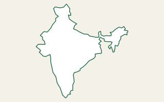
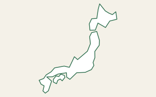
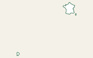
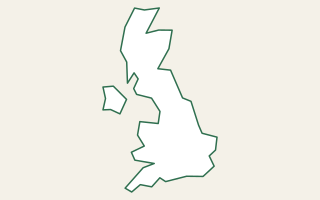
Dedicated indexable map pages
US State & County Blank Maps
Open a state to get its own printable county-equivalent map page. Louisiana uses parishes and Alaska uses boroughs and census areas, with the terminology explained on each page.
Country map library
Printable Country Blank Maps
Each country link opens a separate canonical page instead of changing only the map on this URL. Use those pages for printing, downloads, geographic reference facts and stable links.
About these blank maps
Every outline is generated from public geographic boundary data. Country and world shapes use Natural Earth geometry; the dedicated US state pages use US Census-derived state and county-equivalent geometry. Rendering happens in the browser with d3-geo so SVG downloads stay vector-sharp at any size and PNG exports are suitable for documents and presentations.
The dedicated map URLs are designed for a specific geographic intent rather than forcing every place into one generic page. That makes it easier to bookmark, link to, print and discover the exact map you need.
Common uses
- Education: geography quizzes, fill-in-the-blank worksheets, history projects and coloring sheets.
- Business: sales territories, franchise planning, county coverage and presentation maps.
- Data visualization: base layers for county or country choropleth graphics.
- Content creation: explainers, articles, slides and social graphics.
- Personal: travel planning, custom posters and location reference sheets.
Related tools
- Map Area Calculator — draw shapes on a live map and measure their area.
- US County Demographic Explorer — compare Census county data on an interactive map.
- Pin Drop Map — annotate a live map with labelled pins and export it.
- Cities Within Radius — find cities around any location.
- What County Am I In? — identify a US county and Census context for a map point.
Frequently asked questions
Are these maps really free to use?
Yes — completely free, including commercial use. The boundary data comes from Natural Earth and the US Census Bureau, both public domain, and the outlines are generated in your browser with no watermark or branding.
What's the difference between the four variants?
Blank is a clean outline for worksheets and quizzes; Labeled adds region or country names; Colored fills each region with a soft tint for presentations; With cities overlays major-city dots from our curated dataset. Every variant downloads in both SVG and PNG.
SVG or PNG — which should I choose?
SVG for anything printed or resized because it stays sharp at any size and remains editable. PNG is convenient for slides, documents and quick sharing. State pages also include a print option for PDF output.
Where does the boundary data come from?
Country and world outlines use Natural Earth's public-domain dataset. US state and county-equivalent maps use public US Census cartographic geometry distributed through us-atlas.
Does every US state have its own page?
Yes. MapBench provides a dedicated indexable page for every state plus the District of Columbia, with county-equivalent boundaries, multiple map styles and downloads.
Does every country have a separate URL?
Yes. The country library links to a dedicated canonical blank-map page for each country represented in the bundled Natural Earth geometry.
Do I need to credit MapBench?
No attribution is required for public-domain data. A credit line is appreciated but never obligatory.